The government may soon be required to publish access points, watercraft restrictions, and other detailed information online about all federally-managed freshwaters. The Modernizing Access to Public Waters Act — also just called the MAPWaters Act — passed the U.S. Senate Tuesday after already clearing the House. It now heads to the president’s desk to be signed into law. The MAPWaters Act was introduced in the last days of the Biden administration and is part of an ongoing effort to improve access to federal lands and waters.
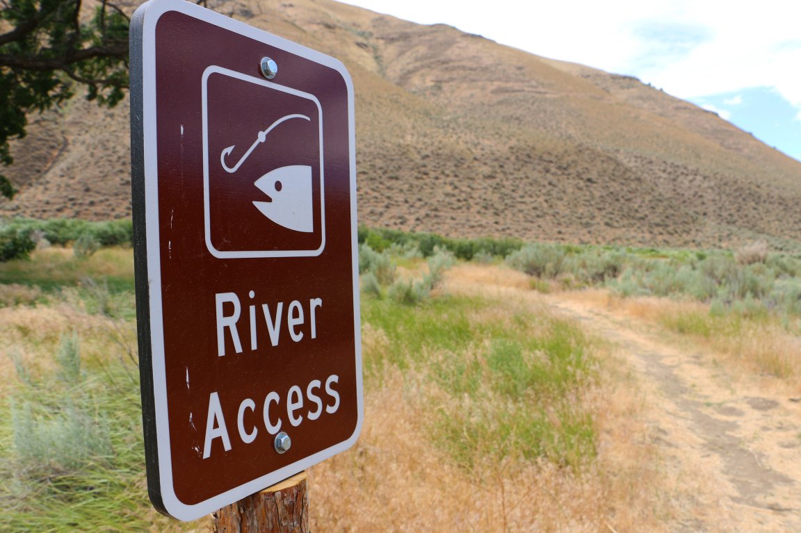
In practicality, this wonky-sounding piece of legislation will mean boaters and anglers interested in recreating on a federal river or lake will one day be able to find that information easily from their phones or computers. So instead of towing your boat two hours into the mountains to a promising-looking lake (only to find out it’s closed to motorboats) you can find a lake somewhere else before leaving your house, says Joel Webster, chief conservation officer of the Theodore Roosevelt Conservation Partnership.
“Federal agencies have spent countless dollars creating rules about whether or not you can drive on a road or boat on a lake or stream, and you have to have a law degree to find that information,” Webster says. TRCP worked with a handful of fellow sportsmen’s groups, including Trout Unlimited, the Congressional Sportsmen’s Association, and the American Sportfishing Association, to get the bill passed.
The database will likely augment services like onX or GoHunt, or simply help those companies improve the information they offer, Webster says. Because right now, much of that information is still a jumbled mess. The National Wildlife Refuge System, for example, has 42 pages worth of regulations specific to individual refuges. Regulations are also in the Code of Federal Regulations, which isn’t exactly a place most sportsmen or women poke around in before loading up to go fishing.
“A high percentage of refuges have their own refuge-specific rules on recreation, which includes like things like no air boats, no canoes, no use outside of daylight hours, or no gasoline motors.”
The bill doesn’t cover waters managed privately or by states, but that still leaves plenty of water, Webster says.

The Bureau of Reclamation, for example, manages 294 reservoirs, and the U.S. Forest Service manages or co-manages more than 5,000 miles of Wild and Scenic Rivers, according to the Congressional Sportsmen’s Association.
Once signed by the president, agencies will have five years to comply.
This bill is the second of a suite of bills aimed at improving access, starting with the 2022 MAPLands Act. As its name implies, the land-focused bill directs agencies to compile all access information to federally managed public land. Efforts to accomplish this are underway and agencies have until 2027 to comply.
Now that the MAPWaters Act has passed, groups plan to focus on the MAPOceans Act, which will compile maps and information about fisheries, wake zones, and what areas are open or closed at various times. Lastly, sportsmen’s groups are also promoting the MAPRoads Act, which aims to create a grant program to map not only federal roads but all state and county roads.
“Anybody who’s driven around in rural Eastern Wyoming or Eastern Montana knows firsthand that it’s pretty dang hard to tell if a road is public or private,” Webster says. “And a big part of that’s because county roads are not well mapped.”
Read Next: Supreme Court Declines to Hear Corner-Crossing Case
Webster also hopes the final products will help alleviate the ubiquitous concerns about overly complicated regulations. While some agencies could likely simplify their rules, having all access information in one digital spot — just like current apps offer about hunting boundaries — means a recreationist can simply click on a lake or river, find boat ramps, read about where they can fish, and then go.