

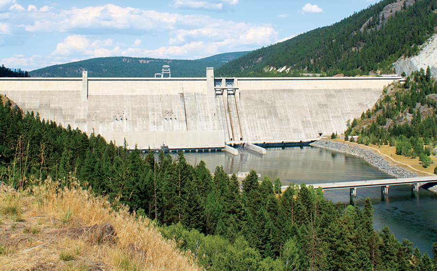
The Corps of Engineers has taken hundreds of thousands of acres of prime hunting and fishing ground from us. With every main-stem dam that’s built, tens of thousands of acres of prime river-bottom habitat is flooded.
Luckily, the federal agency that taketh away also giveth to sportsmen. The Corps owns and manages some 12 million acres of real estate open to public hunting and fishing, and a new mapping service shows you precisely where to find the best access.
Since George Washington appointed the first engineer officers of the Army, in 1775, the Corps of Engineers’ domestic duties have included the design and construction of coastal fortifications and canals and the construction of dams and reservoirs that bring water to arid regions of the country while also creating a system of flood control.
All of these projects required the purchase (or, in many cases, ceding) of land to the Corps. And a fair chunk of that land often ended up sitting on the bottom of what became some of the most popular fishing holes in America. More recently, the Corps has focused on projects and efforts related to water resources and regulating the nation’s wetlands.
From Kentucky Lake to the flooded timber of Louisiana, millions of hunters and anglers have enjoyed access and opportunity provided by the COE—and likely never even realized it.
But there’s no reason to stay in the dark. The Corps offers a digital file that can be used in conjunction with Google Earth. The overlay paints a clear—and graphically cool—picture of just how many hunting and fishing opportunities are available. It’s useful enough, in fact, that one might question whether it was actually designed by the government.
This free file should be your go-to source when you’re looking for a place to hunt or fish on Corps land.
The overlay adds icons to Google Earth. Click on the icon and you’ll find the name of the area; vital information, such as the number of recreation areas included in the project; location of boat ramps and marinas; and public access points as well as property boundaries, printable maps, contact numbers, and related information.
Opening that Google Earth file for the first time will, literally, reveal a brand-new world of access that is wide open for hunters and anglers.