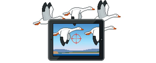
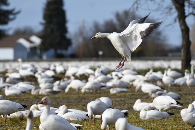
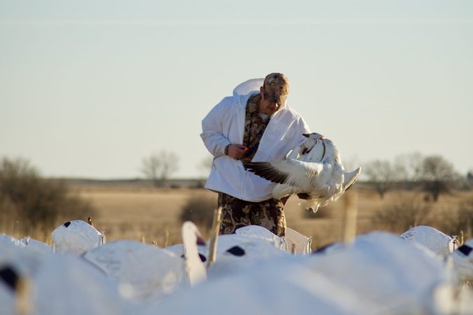
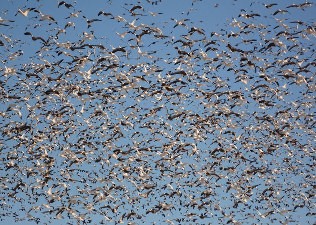
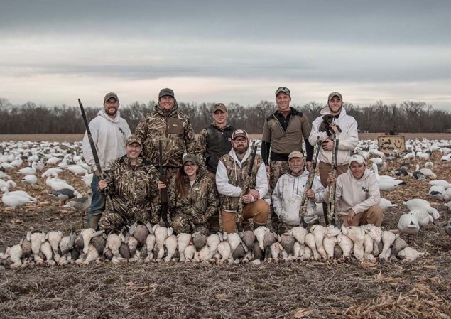
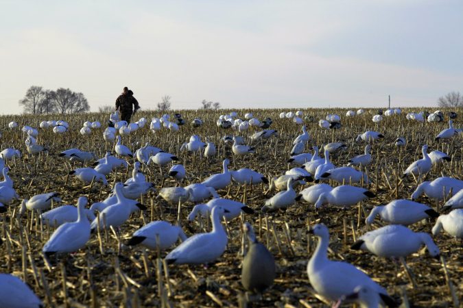
The hottest waterfowl hunt in America this month is for snow geese following the snow line as it recedes northward week by week. When you hit it right, it’s a numbers game: No limits. No shotgun plugs. No prohibition on electronic calls.
But snow–and snows–could just as easily be in the Texas Panhandle as on Nebraska’s North Platte River, so how do you know where to go? Easy. You visit one of the handful of websites that track the northbound migration.
Here are the best digital resources, and what you need to know about each.
Blackcloud Stormchasers Network
An interactive map features icons of various waterfowl species over a map of North America and the dates of various sightings.
But it’s not just for birdwatching. Join this online community to share stories, strategies, and photos from fellow road-trippers. stormchasersnetwork.com/map
Hunt the North Spring Snow Goose Migration Reports
The first and last destination for hard-core snow goose hunters, this site features a map of the snow line across North America. You can bet that the hottest February and March shooting is close to that line. The site includes links to outfitted hunts and a state-by-state hunting outlook. huntthenorth.com/springsnowreport.html
National Weather Service Snow Map
Where is the snow and, by extension, where are the snow geese? Glimpse Old Man Winter at this site. nohrsc.noaa.gov/
South Dakota’s Migration Map
By March, the hottest shooting is in the Dakotas. Follow the migration at South Dakota Game, Fish and Parks’ color-coded Hunting Opportunity Thunderstorm Map that charts both bird numbers and available public land. Red means pack the pickup and head immediately to Watertown. gfp.sd.gov/hunting/waterfowl/migration
–Illustration by Quick Honey
